VIRGINIA
Site of the first English settlement in the New World at Jamestown in 1607. Home of Presidents Washington, Jefferson, Monroe, Madison Tyler, Harrison and Wilson. Capital of the Confederate States during the Civil War and site of more than half the battles of that war. From the Atlantic beaches and Chesapeake Bay to the Appalachian mountains and Shenandoah Valley, a wonder place to visit or live.
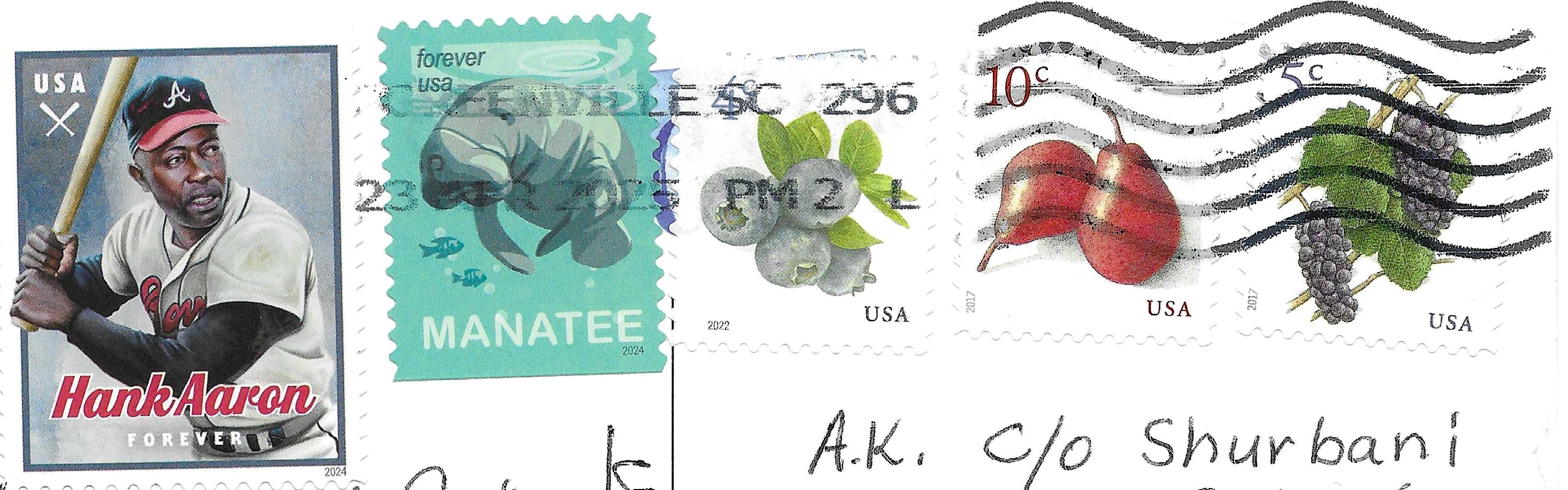
Sent by Lachlan from Alexandria in Virginia, USA.
Old Dominion is one of the best-known nicknames for Virginia, along with Mother of Presidents and Mother of States. The nickname probably derives from the fact that Virginia was the first, and therefore the oldest, of the overseas dominions of the kings and queens of England. The seal and coat of arms of the colony in use from 1607 until 1624, when the Virginia Company of London directed the colonization of Virginia, included the words, “En Dat Virginia Quintam” (also spelled “Quintum”), indicating that Virginia was the fifth of the realms, or domains, of the Crown. At that time, the kings and queens of England also claimed the thrones of Scotland, Ireland, and France (dating back to the Norman Conquest in 1066). The same words appeared on the seal between 1625, when Virginia became the English king’s first royal colony, and the 1707 Acts of Union that combined the kingdoms of England and Scotland into the kingdom of Great Britain. The motto on the seal of Virginia was then altered to “En Dat Virginia Quartam,” there being thereafter four, not five, royal dominions. That motto was used on the colonial seal until the beginning of the American Revolution (1775–1783) (read more).