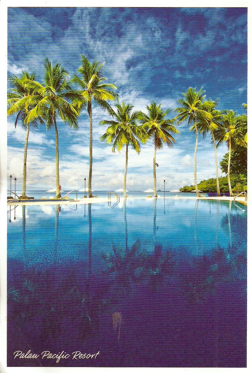
Palau Pacific Resort
Sent by Mr. Naoyuki Maedani, the General Manager of Palau Pacific Resort in Koror, Palau.
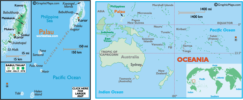
Palau, sometimes spelled Belau or Pelew), officially the Republic of Palau (Palauan: Beluu er a Belau), is an island country located in the western Pacific Ocean. It is geographically part of the larger island group of Micronesia. The country's population of around 21,000 is spread across 250 islands forming the western chain of the Caroline Islands. The most populous island is Koror. The islands share maritime boundaries with Indonesia, Philippines and the Federated States of Micronesia. The capital Ngerulmud is located in Melekeok State on the nearby island of Babeldaob.
The country was originally settled around 3,000 years ago by migrants from the Philippines and sustained a Negrito population until around 900 years ago. The islands were first visited by Europeans in the 18th century, and were made part of the Spanish East Indies in 1885. Following Spain's defeat in the Spanish–American War in 1898, the islands were sold to Imperial Germany in 1899 under the terms of the German–Spanish Treaty, where they were administered as part of German New Guinea. The Imperial Japanese Navy conquered Palau during World War I, and the islands were later made a part of the Japanese-ruled South Pacific Mandate by the League of Nations. During World War II, skirmishes, including the major Battle of Peleliu, were fought between American and Japanese troops as part of the Mariana and Palau Islands campaign. Along with other Pacific Islands, Palau was made a part of the United States-governed Trust Territory of the Pacific Islands in 1947. Having voted against joining the Federated States of Micronesia in 1979, the islands gained full sovereignty in 1994 under a Compact of Free Association with the United States.
Politically, Palau is a presidential republic in free association with the United States, which provides defense, funding, and access to social services. Legislative power is concentrated in the bicameral Palau National Congress. Palau's economy is based mainly on tourism, subsistence agriculture and fishing, with a significant portion of Gross National Product (GNP) derived from foreign aid. The country uses the United States dollar as its currency. The islands' culture mixes Japanese, Micronesian and Melanesian elements. The majority of citizens are of mixed Micronesian, Melanesian, and Austronesian descent, with significant groups descended from Japanese and Filipino settlers. The country's two official languages are Palauan (member of the wider Sunda–Sulawesi language group) and English, with Japanese, Sonsorolese, and Tobian recognised as regional languages. (read further)